Open-source prototype
Map lab
This is an open-source prototype of the kind of Web GIS services specified for an enterprise platform: basemaps, layers, queries, voice commands, upload, coordinate reference systems, and OGC services.
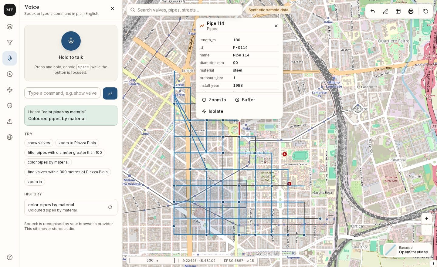
Synthetic data. The sample network is synthetic. The streets are open data or a generated grid. Nothing here is a real utility asset.
Try one thing
Explore
Analyse
- Next.js
- OpenLayers
- PostGIS
- pgRouting
- GDAL
- GeoServer
- pycsw